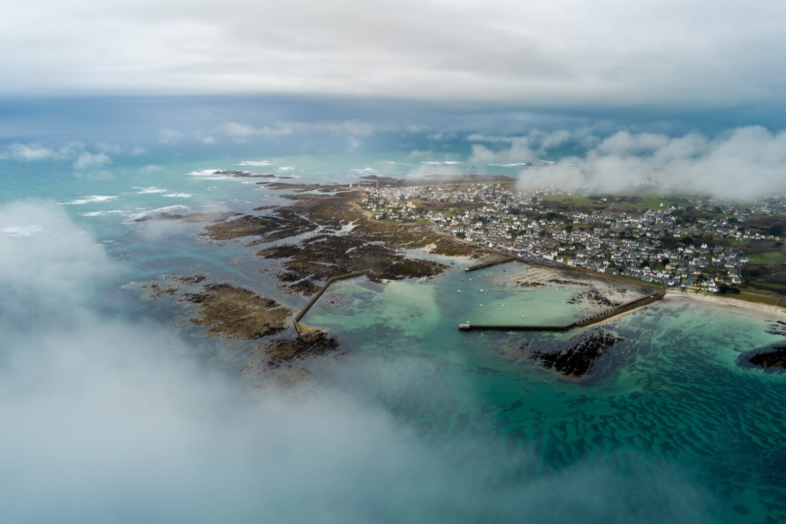
Property searches begin online
The listing creates the first impression. A distinctive aerial view helps a property stand out from the first search results.
 Discuss your project
Aerial property photography · Yvelines
Selling or letting a house? Drone photography reveals its grounds, access and surroundings to enrich your listing. For estate agents and homeowners in the Yvelines.
5 edited aerial photographs · €199 totalTravel included within 20 km of Houilles · Subject to flight feasibility
Reality, elevated
by technology.
For letting agencies and homeowners selling or renting out their property
Why aerial photography
Before a viewing, aerial photography helps buyers and tenants understand a property's layout, access and surroundings. A clearer listing captures attention and encourages better-informed enquiries.
The listing creates the first impression. A distinctive aerial view helps a property stand out from the first search results.
Images attract attention. Aerial views immediately convey information that is difficult to show clearly from the ground.
Clear imagery makes it easier to shortlist a property, share a listing and make an enquiry.
According to PAP, a listing with attractive photographs receives up to seven times more views. Aerial photography complements this by revealing the grounds and surroundings.
Data from PAP, from SeLoger (eye-tracking study) and NAR 2025 for the US 81% statistic. The ×7 figure concerns the quality of property photographs in general; aerial views complement this presentation. These figures illustrate the role of imagery and do not guarantee a sale or letting timeframe.
Aerial portfolio
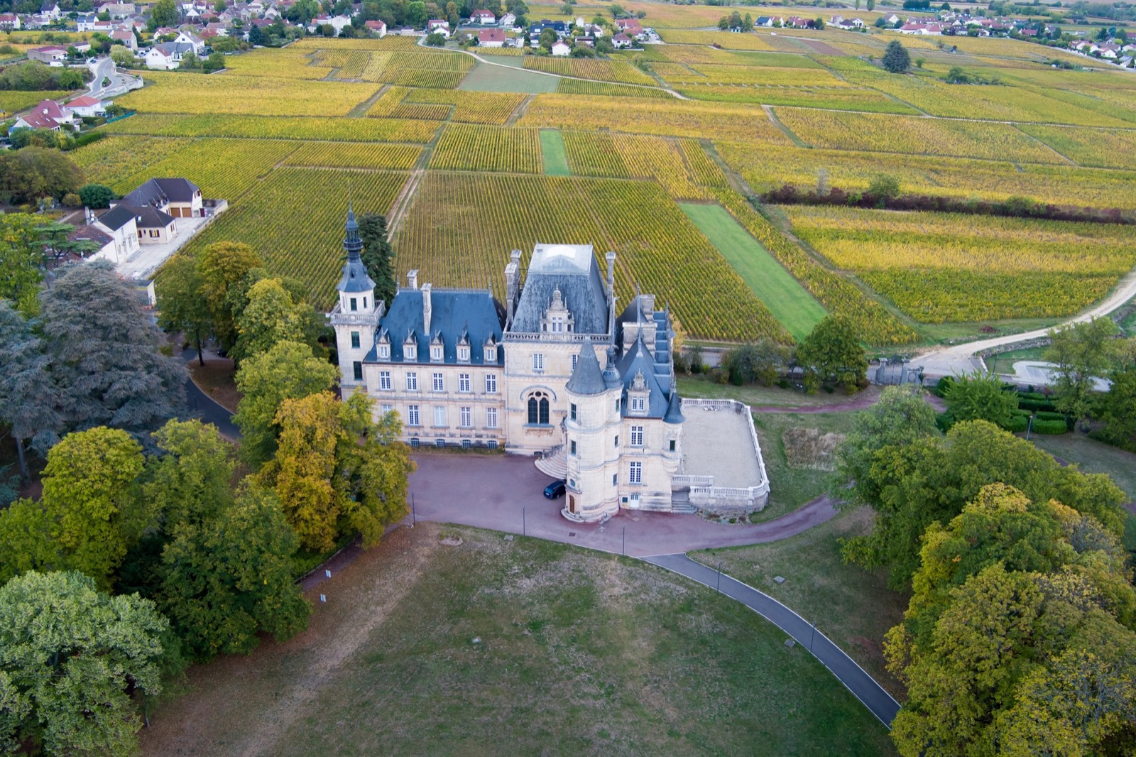
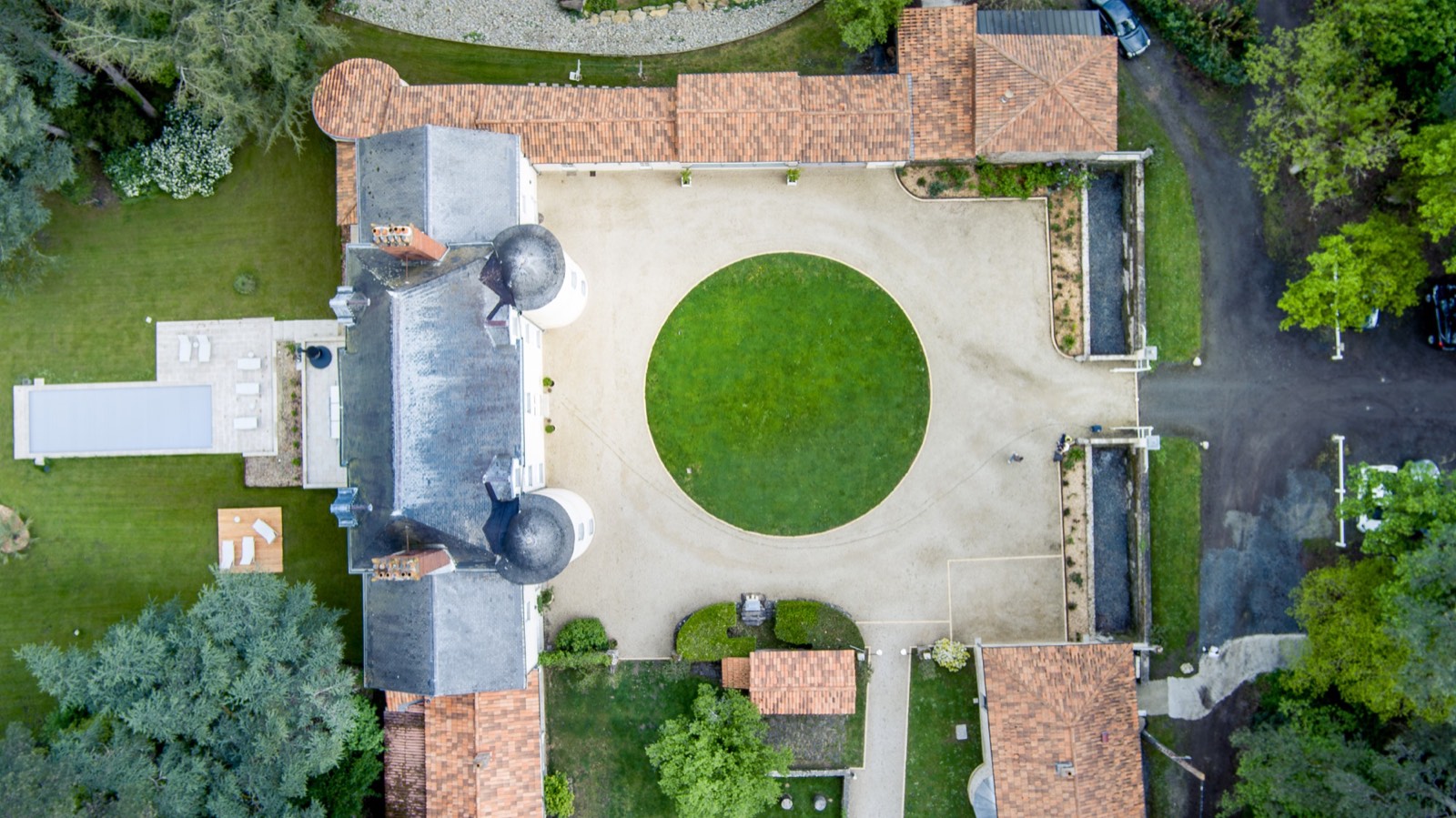
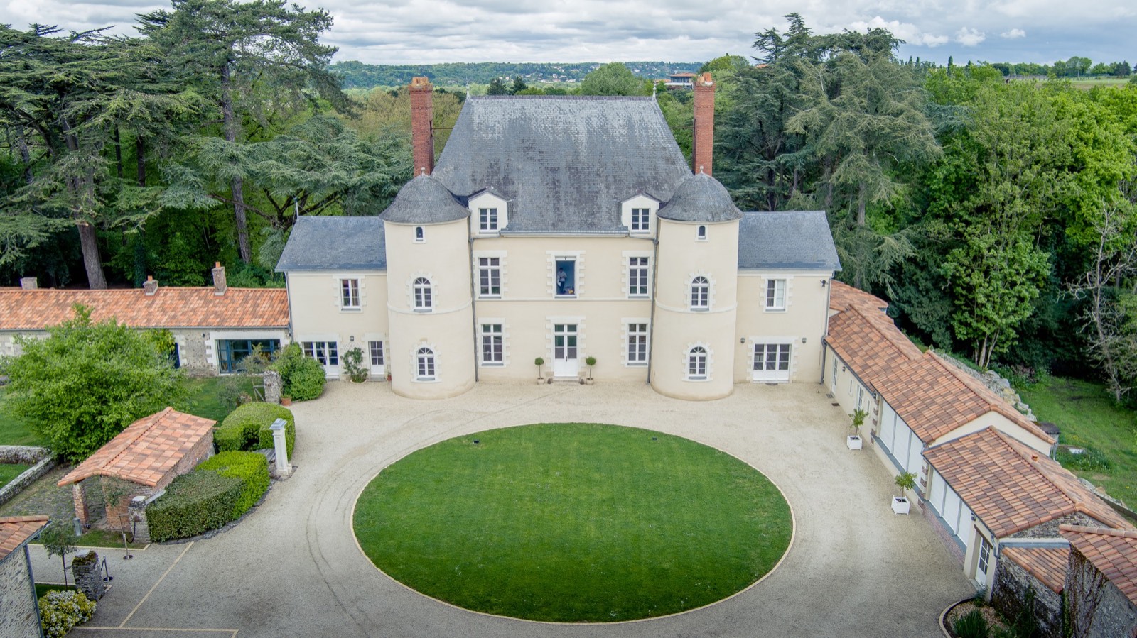
Architecture, layout and surroundings: three perspectives to understand a property before a viewing.
Packages
Three packages per property, plus a dedicated offer for agencies arranging shoots across multiple properties.
199 €
Ideal for a focused, straightforward listing.
A concise set showing the property and its layout.
269 €
Ideal for showcasing a home with grounds or distinctive surroundings.
A complete set presenting the property in its surroundings.
349 €
Ideal for a standout property and multi-channel marketing.
The most comprehensive coverage, with the fastest delivery.
On quotation
Designed for agencies marketing multiple properties.
Simpler coordination and a consistent visual identity across your listings.
VAT not applicable under Article 293 B of the French General Tax Code. Travel included within 20 km of Houilles; mileage charges beyond this are specified in the quote.
Augmented intelligence
AI works behind the scenes to organise projects, streamline technical tasks and prepare formats. Creative judgement, decisions and final editing remain human.
Organise, sort and prepare formats.
Choose angles, images and the final finish.
Show the property without misleading alterations.
of delivered images are checked and finalised by the photographer.
property or landscape elements misleadingly added or removed.
Your project
Starting point
Property type, exact address, intended channels and preferred date.
Preparation
Checks of the location, airspace, weather and required permissions.
On location
Angles, heights and flight paths are chosen to present the property accurately.
Destination
AI-assisted selection and image consistency, human finishing and ready-to-publish formats.
About
Based in Houilles, I have over ten years of photography experience and more than six years of drone photography. Elevated Horizon grew from a simple idea: to show how a property relates to its landscape, plot and neighbourhood.
Qualifications & compliance
Certificate valid until 28 December 2027.
Autel drone registered on AlphaTango.
Certificate valid until 5 January 2028.
C2 classification, OPEN A2/BAPD qualification and professional insurance are being finalised.
Equipment
The Autel EVO II Pro V3 combines a large sensor, adjustable optics and precise stabilisation to capture a property's scale and detail naturally.
ND filters from ND4 to ND32 are selected for the lighting conditions to control exposure and maintain a natural look.
* Manufacturer's maximum figures; actual performance varies with conditions. Safety and regulations always take priority over theoretical performance.
Service area
Boucle de Seine, Saint-Germain-en-Laye and neighbouring towns. Travel included within 20 km of Houilles.
Houilles · Carrières-sur-Seine · Montesson · Chatou · Le Vésinet · Croissy-sur-Seine · Maisons-Laffitte · Le Pecq · Saint-Germain-en-Laye · Orgeval
Every location undergoes regulatory and operational checks. Bookings will open once compliance documentation and professional insurance are fully confirmed.
Frequently asked questions
Travel, weather, delivery and image usage: all key terms are clarified before each shoot.
Yes, within 20 km of Houilles. Beyond this, mileage charges apply and are specified in the quote before confirmation.
If wind, rain, visibility or other conditions prevent safe flying and quality images, the shoot is rescheduled at no extra charge. We agree on a new date together.
The delivery period begins at the end of the shoot: 72 working hours for Essential, 48 working hours for Signature and 24 working hours for Prestige.
Each address is assessed in advance: airspace, local restrictions, surroundings, people nearby, privacy, weather and required permissions. A shoot is confirmed only if flying is legal and safe. Any formalities, restrictions or inability to fly are explained before the quote is accepted.
Yes. An additional selected and edited aerial photograph costs €20. A pack of 5 additional photographs costs €75.
A 12-month non-exclusive licence is included to market the photographed property through listings, websites, social media and the agency's or owner's printed materials. Elevated Horizon retains authorship of the images. Resale, transfer to third parties or use in another campaign requires written permission. Images are published in Elevated Horizon's portfolio only with the client's consent.
No. All photographs are taken on location by the photographer. AI may assist with technical tasks such as organisation, shortlisting, consistency or format preparation, but it does not create the property, replace human judgement or misleadingly add or remove property or landscape features. Every delivered image is checked and finalised by the photographer.
Request a quote
Share the address, your preferred package and your requirements. I will check flight feasibility and send a personalised quote within 48 hours.
Quote within 48 hours
Photographs delivered within 24–72 hours depending on the package.